 Divisi
What grows in Galgaduud
Somalia

The season in Galgaduud
| Rain in a typical year | About 189 mm in a typical farming district |
|---|---|
| Across its districts | From about 189 mm in the driest of 5 districts to about 294 mm in the wettest |
| This season's rain | Leaning wet — make sure water can drain off the field. |
| What that supports | too dry for rain-fed cropping without irrigation, warm all year, so nothing but rain ends the season |
| Ground this covers | One kind of ground throughout. |
last updated 17 September 2026 · from all 5 areas within it
Galgaduud's districts


What grows here with irrigation
-
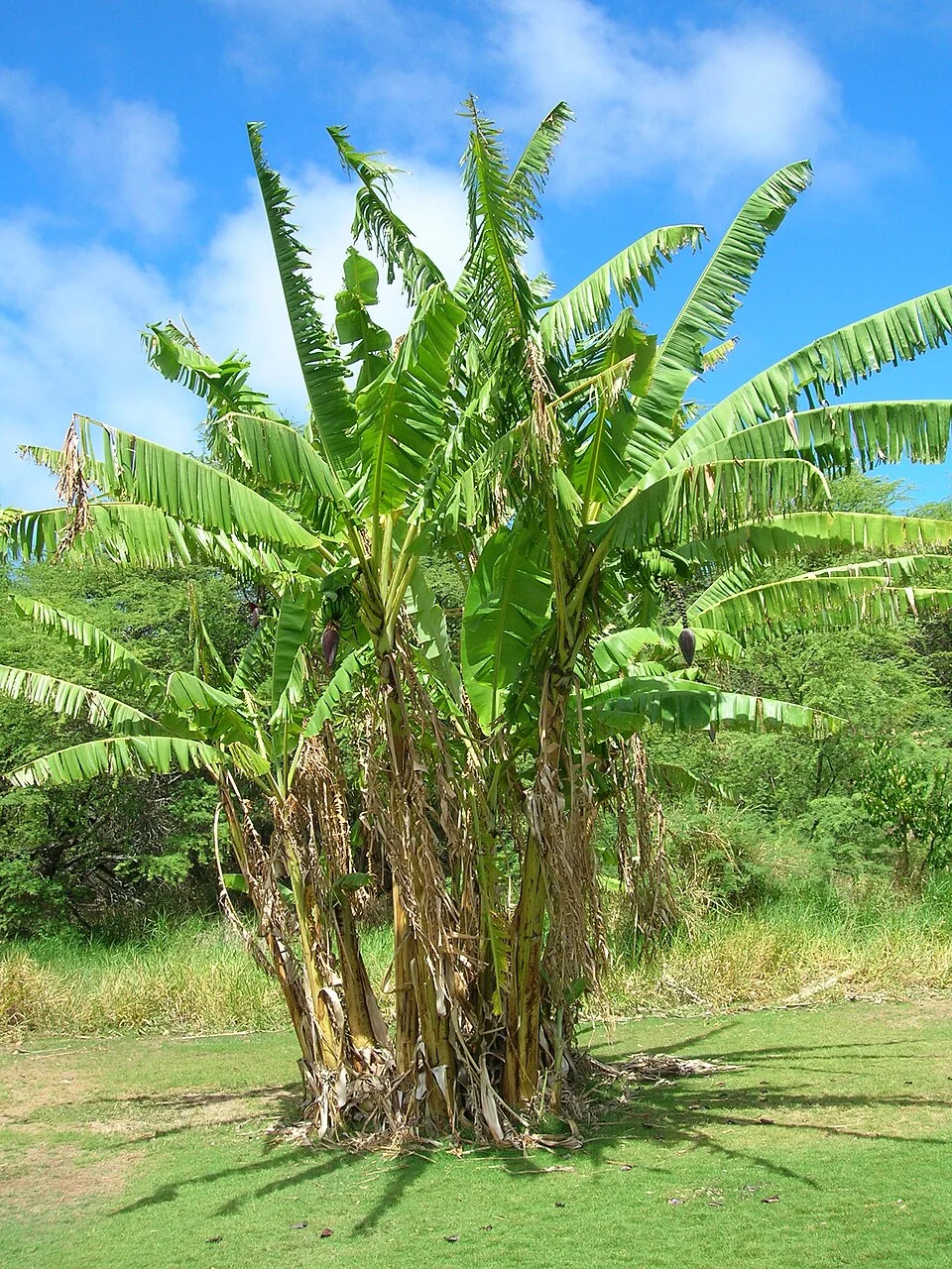 BananaFavourable Needs irrigation
Grows well in 5 of 5 districts
Plant 21 Jan 2026 – 1 Jan 2027 open now
matched to this season's forecast
about 55.6 t/ha expected
Pest/disease risk — manageableSoil pH outside the crop's rangeCorrect soil pH (acidifier) -
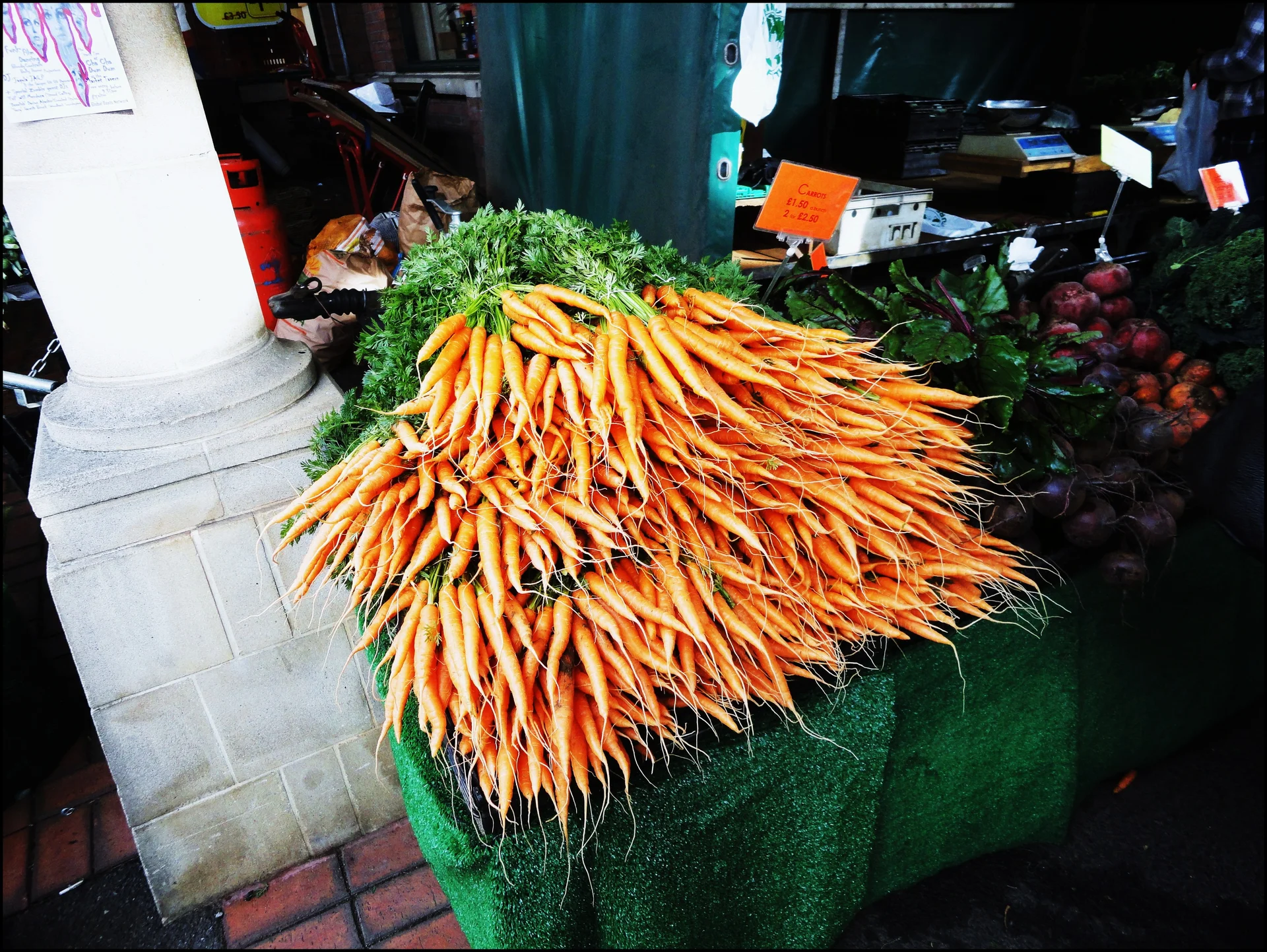 CarrotFavourable Needs irrigation
Grows well in 5 of 5 districts
Plant 21 Jan 2026 – 1 Jan 2027 open now
matched to this season's forecast
about 50.0 t/ha expected
Pest/disease risk — manageableSoil pH outside the crop's rangeCorrect soil pH (acidifier) -
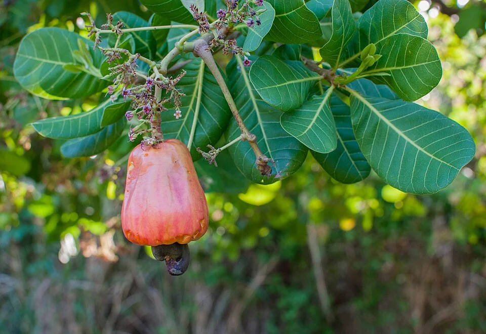 CashewFavourable Needs irrigation
Grows well in 5 of 5 districts
Plant 21 Jan 2026 – 1 Jan 2027 open now
matched to this season's forecast
about 1.6 t/ha expected
Pest/disease risk — manageableSoil pH outside the crop's rangeCorrect soil pH (acidifier) -
 CassavaFavourable Needs irrigation
Grows well in 5 of 5 districts
Plant 21 Jan 2026 – 1 Jan 2027 open now
matched to this season's forecast
about 28.7 t/ha expected
Pest/disease risk — manageableSoil pH below the crop's optimumShallow soil -
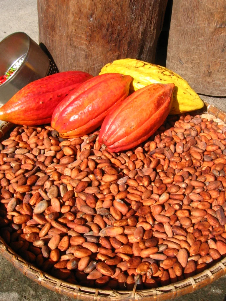 CocoaFavourable Needs irrigation
Grows well in 5 of 5 districts
Plant 21 Jan 2026 – 1 Jan 2027 open now
matched to this season's forecast
about 1.6 t/ha expected
Pest/disease risk — manageableSoil pH outside the crop's rangeCorrect soil pH (acidifier) -
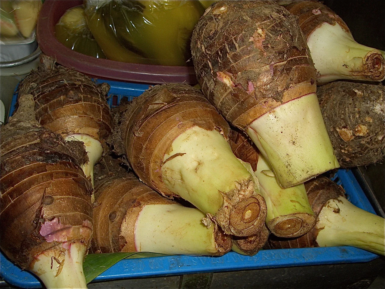 TaroFavourable Needs irrigation
Grows well in 5 of 5 districts
Plant 21 Jan 2026 – 1 Jan 2027 open now
matched to this season's forecast
about 27.8 t/ha expected
Pest/disease risk — manageableSoil pH below the crop's optimum
Plan the season, not just check it
The crops above are gathered from every district in Galgaduud, and the ground under them is not all the same. Your own soil, slope and rainfall will shift the dates — the Divisi app works them out for your field, and dates each job that follows.


This calendar moves
Planting windows shift with the forecast. Leave your email and we'll send what changed, and a note when planting time nears — a couple of emails a month at most.
Frequently asked questions
Is there a farming app that works in Galgaduud?
Divisi does. It reads Galgaduud's own rainfall, soil and terrain rather than a national average, so the planting dates and crop shortlist on this page are the same ones the app works out for a field here — then dates each job for that field, and keeps working with no signal.
Is this exact for my own field?
No — these are readings taken across Galgaduud, not on your field. Soil, slope and rainfall change from one farm to the next. Check your own location to see your own numbers.